The sights
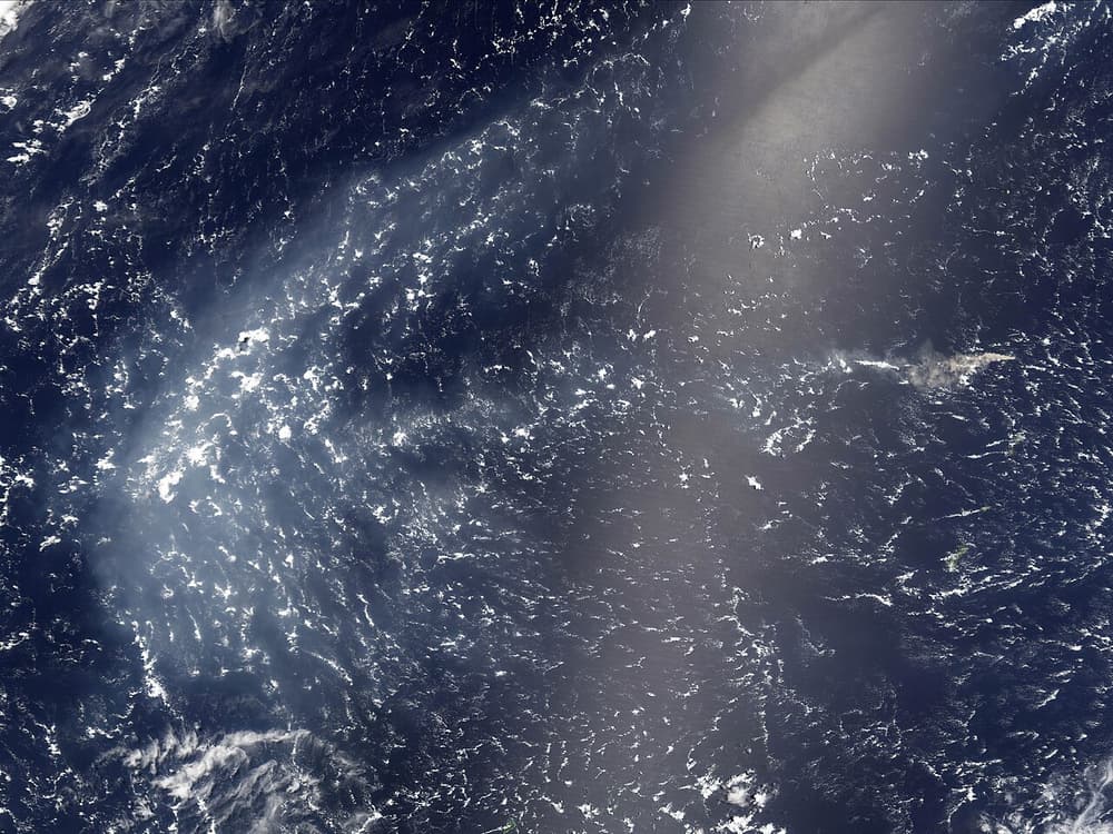
Anatahan
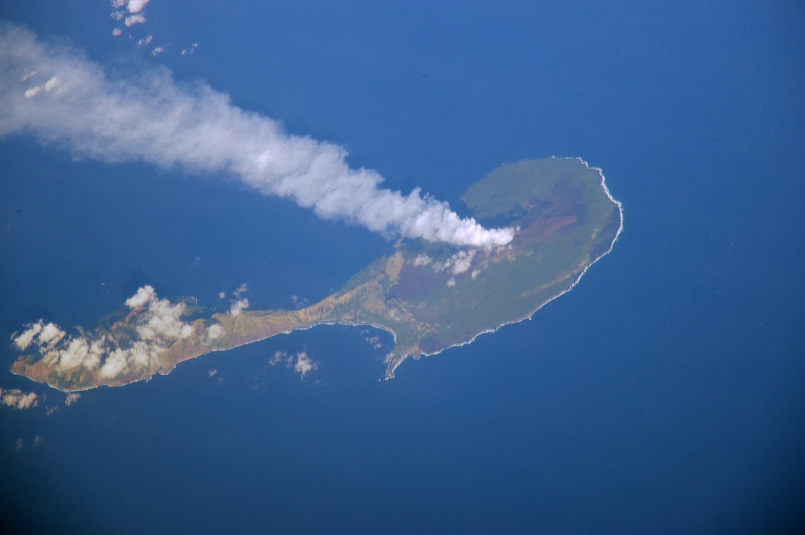
The nearest large island to Saipan, about 120 kilometres north. Its residents were evacuated in 1990 after signs of unrest, and in May 2003 the volcano erupted for the first time in recorded history, sending ash across the region. Anatahan is also remembered for the Japanese holdouts who lived on here until 1951, a story retold in Josef von Sternberg’s 1953 film.
ℹ️ Uninhabited, with no landing facilities. Not visitable on any regular basis. Ash from past eruptions has at times disrupted flights in the region.
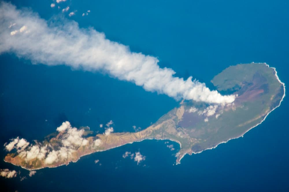
Pagan
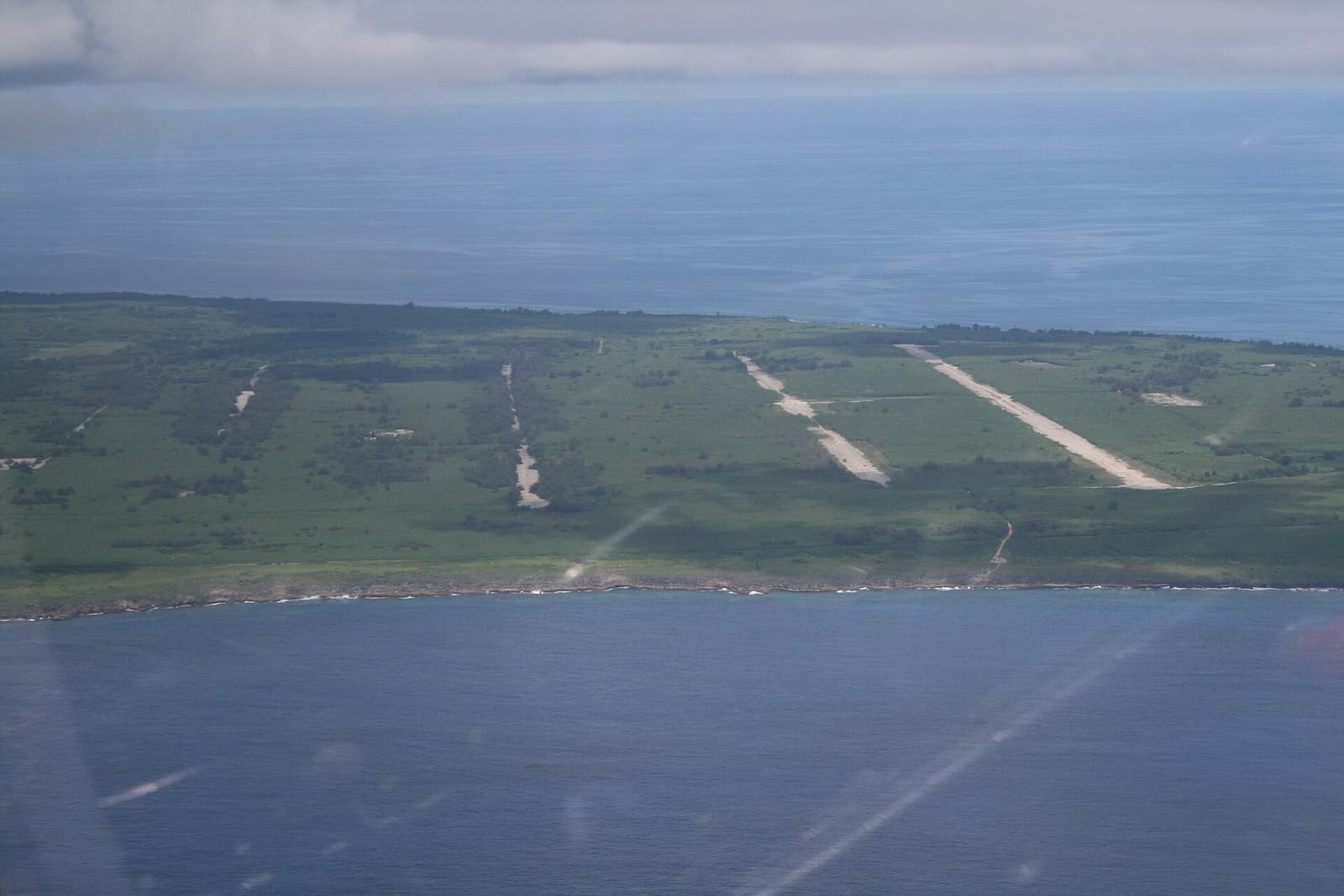
The island most people mean when they talk of going north: two stratovolcanoes joined by a low isthmus, with black-sand beaches, two lakes, and the overgrown remains of a wartime Japanese airstrip, bunkers and a wrecked Zero fighter. An eruption of Mount Pagan in 1981 forced the evacuation of its fifty or so residents. A few former residents and homesteaders return seasonally, and proposals for military training on the island have been strongly contested.
ℹ️ About 320 kilometres from Saipan — more than a day by sea. No services of any kind. Landing requires permission from the Northern Islands Mayor’s Office and depends entirely on the swell. The volcano remains active.
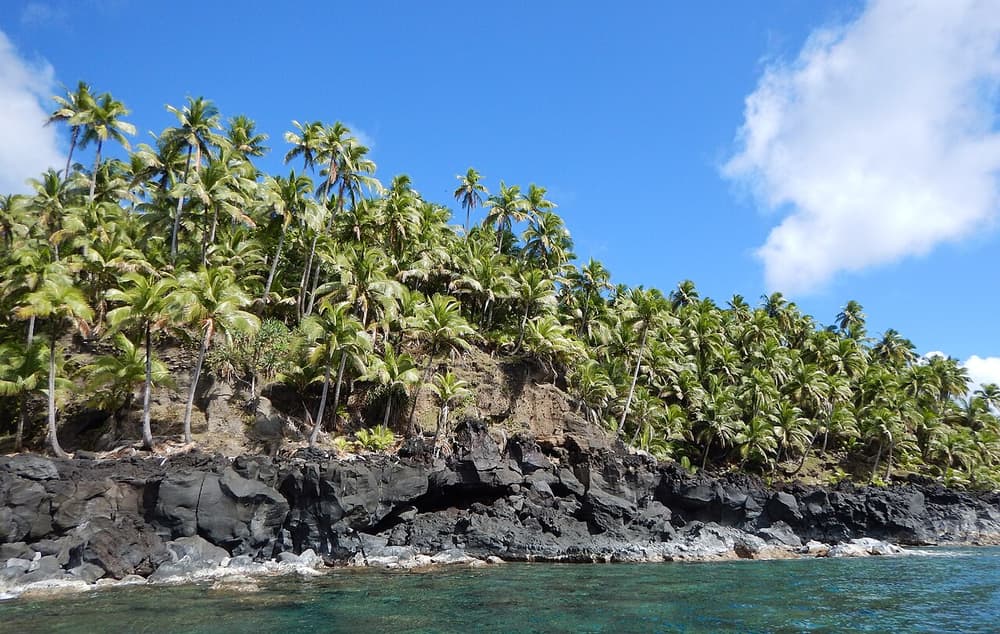
Agrihan
A huge, steep-sided volcano whose summit, at about 965 metres, is the highest point in the Northern Marianas and in all of Micronesia. A deep caldera lies hidden at the top, and dense vegetation covers the lower slopes. A very small number of people have lived here on and off.
ℹ️ Beyond Pagan, roughly two days’ sailing from Saipan. No landing place worth the name and no services. Expedition access only, with permission.
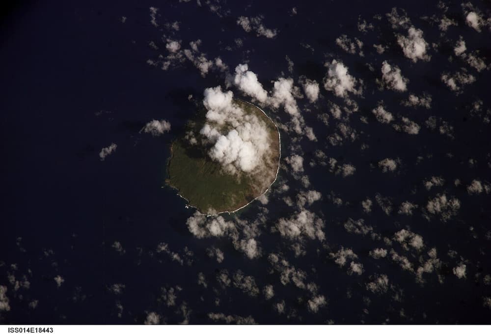
Asuncion
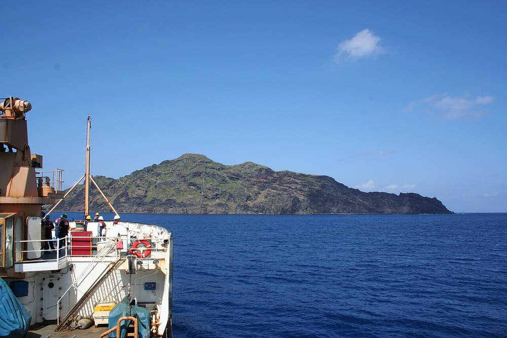
An almost perfectly symmetrical cone rising about 857 metres straight from the sea — the textbook picture of an island volcano. It is uninhabited, and its waters form part of the Islands Unit of the marine monument.
ℹ️ No landing facilities. The surrounding waters are federally protected; entry is subject to monument rules. Seen, if at all, from the deck of a passing vessel.
Maug
Three narrow islets that are the surviving rim of a drowned volcano, enclosing a deep lagoon. Inside, tropical coral reefs grow within reach of volcanic vents that bubble gas into the water — a natural laboratory that scientists use to study how reefs respond to more acidic seas.
ℹ️ Part of the monument’s Islands Unit, some 500 kilometres or more from Saipan. Visited by research vessels and, very rarely, by an expedition cruise ship. Not open to casual visits.
Farallon de Pajaros (Uracas)
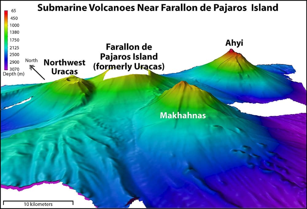
The northernmost of the Marianas and one of the most active: a bare, dark cone so often seen glowing or steaming that sailors called it the Lighthouse of the Western Pacific. Seabirds nest on the cooler slopes, which is what its Spanish name — “rock of the birds” — records.
ℹ️ Around 600 kilometres from Saipan, inside the monument’s Islands Unit. Uninhabited, hazardous and effectively unvisited except by scientific expeditions.
The Mariana Trench
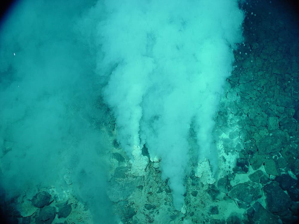
A crescent-shaped chasm in the seabed, about 1,750 kilometres long, running east and south of the islands. Its deepest known point, Challenger Deep, lies at about 10,900 metres. The trench floor here, a chain of 21 undersea volcanoes and vents, and the waters around the three northernmost islands were proclaimed the Marianas Trench Marine National Monument in January 2009 — around 95,000 square miles, or roughly 246,000 square kilometres, in all.
ℹ️ Nothing to see at the surface but open ocean. Challenger Deep is some 300 kilometres or more south-west of Guam, in waters of the Federated States of Micronesia, and is not inside the monument. No public access to the deep.